Fototapeta Isolated map of South Africa with capital, national borders, important cities, rivers,lakes. Detailed map of South Africa suitable for large size prints and digital editing.

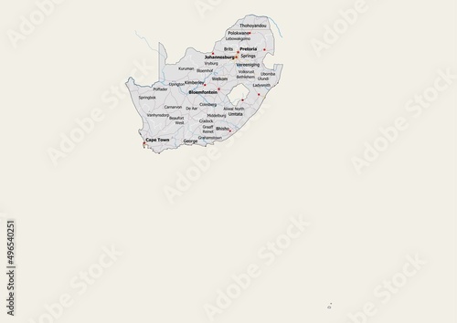
Isolated map of South Africa with capital, national borders, important cities, rivers,lakes. Detailed map of South Africa suitable for large size prints and digital editing.

Numer zdjęcia: 496540251, autor: © mapsandphotos

Tytuł: Isolated map of South Africa with capital, national borders, important cities, rivers,lakes. Detailed map of South Africa suitable for large size prints and digital editing.

Na wydruku nie będzie znaku wodnego ani numeru grafiki

Kliknij na zdjęcie aby powiększyć
cm