
Numer zdjęcia: 614890944, autor: © martinova4
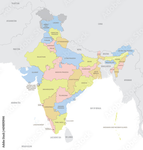
Tytuł: Detailed map of India with administrative divisions and borders of neighboring countries, vector illustration on white background
Na wydruku nie będzie znaku wodnego ani numeru grafiki
zł
134,50 zł
Copyright Fototapeta4U.pl 2024


