Uwaga Promocja!
Rabat -
45%
na wszystkie produkty. Podaj w koszyku kod -
QF1BGNQ
Do końca oferty pozostało
Tue, 18 Feb 2025 22:59:59 +0000
0:53:19
x
O nas
Produkty
Pomoc
Kontakt
Opinie
Panel klienta
Modne i stylowe fototapety na wymiar
0
szt.
0
00
PLN
Pusty Koszyk
Menu
Przeznaczenie
Fototapety do salonu
Fototapety do sypialni
Fototapety do kuchni
Fototapety do biura
Fototapety do jadalni
Fototapety do łazienki
Fototapety do pokoju dziecka
Fototapety do pokoju nastolatka
Serie
Akwarele
Graffiti
Japonia
Pop Art
Skandynawia
Malarstwo
Żeglarstwo
Kwiaty
Motywy roślinne
3D
Miasta
Uliczki
Kategorie
Krajobraz
Lawendowe pole
Góry
Jeziora
Toskania
Plaża i palmy
Wodospad
Zachód słońca
Lasy i drzewa
Brzozy
Las bambusowy
Las tropikalny
Zamglony las
Kwiaty
Storczyk / orchidea
Dmuchawce
Maki
Tulipany
Słoneczniki
Architetura
Most Brookliński
Wieża Eiffla
Stare uliczki
Mosty
Drapacze chmur
Piramidy
Wielkie miasta
Panorama miasta
Warszawa
Kraków
Nowy Jork
Londyn
Paryż
Rzym
Wenecja
Tokio
Hong Kong
Zwierzęta
Konie
Zebra
Tygrys
Słoń
Flamingi
Jedzenie i napoje
Owoce
Warzywa
Pieczywo
Pierogi
Makarony
Pizza
Przyprawy
Kawa
Wino
Graficzne
Tropikalne liście
Damask
Etno i Folk
BOHO
Skandynawskie
3D / efekt głębi
Orientalne kafle
Geometryczne
Paski
Kółka
Fale
Kropki
Esy Floresy
Abstrakcyjne
Portret
Zwierzęta
Kwiaty
Krajobraz
Miasto
Inspiracje
Blog
Ulubione
Z Twojego zdjęcia
Opcje wyszukiwania
Typ
Fotografia
Wektor
Ilustracja
Wszystko
Położenie
Poziome
Pionowe
Kwadrat
Panoramiczne
Wszystko
Pokaż tylko
Z jednolitym tłem
Wszystko
Kolor
Na okręgu zaznacz szukany kolor a na kwadracie jego natężenie
smartphone screen displaying a live streaming interface with user comments and reactions. The screen has a "LIVE" indicator, user comments, and various reaction emojis floating up.
#1209123247
Zobacz więcej
Two cartoon earthworms in a garden setting with grass, rocks, and soil under a bright blue sky with clouds. One worm is partially out of the soil, and the other is fully above ground.
#1209121837
Zobacz więcej
A delivery person on an orange scooter is emerging from a smartphone screen, symbolizing online delivery services. A red door is in the background.
#1209121603
Zobacz więcej
visual acuity test chart with varying sizes of Landolt C symbols. Each row has decreasing sizes of the symbols, with corresponding D and V values.
#1209126688
Zobacz więcej
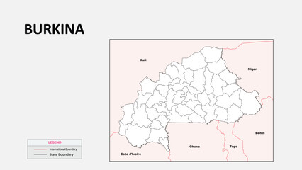
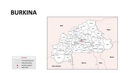
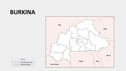
Burkina Faso Map. Political map of Burkina Faso with state border in outline. Political map of Burkina Faso with outline and neighbouring countries.
#1254455275
Zobacz więcej
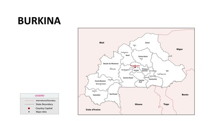
Burkina Faso Map. State and district map of Burkina Faso. Administrative map of Burkina Faso with states and boundaries in white color.
#1254455034
Zobacz więcej
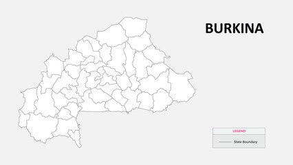
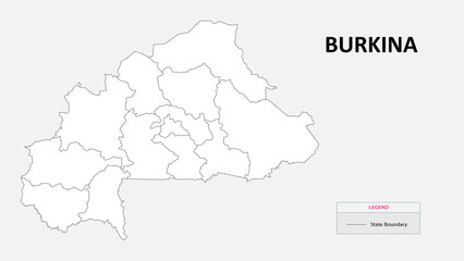
Burkina Faso Map. State map of Burkina Faso. Administrative map of Burkina Faso with states names in outline.
#1254455030
Zobacz więcej
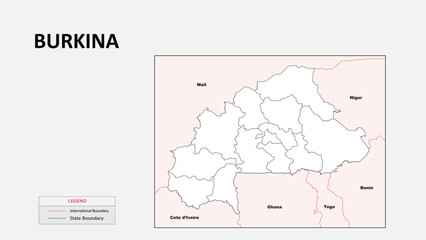
Burkina Faso Map. Political map of Burkina Faso with state border in outline. Political map of Burkina Faso with outline and neighbouring countries.
#1254452942
Zobacz więcej
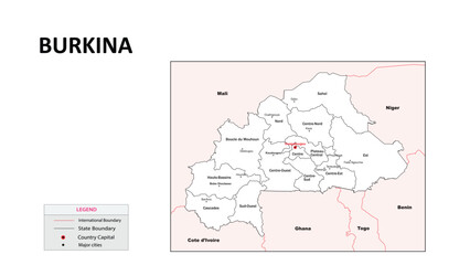
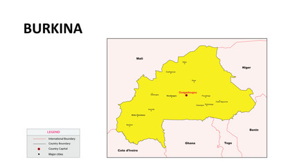
Burkina Faso Map. State and union territories of Burkina Faso with neighbouring countries. Political map of Burkina Faso with capital and important cities in Detailed.
#1254452936
Zobacz więcej
Burkina Faso Map. State map of Burkina Faso. Administrative map of Burkina Faso with state and capital in white color.
#1254452918
Zobacz więcej
Burkina Faso Map. State and district map of Burkina Faso. Administrative map of Burkina Faso with states and boundaries in white color.
#1254452807
Zobacz więcej
Burkina Faso Map. State map of Burkina Faso. Administrative map of Burkina Faso with states names in outline.
#1254452806
Zobacz więcej
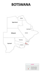
Botswana Map. State and union territories of Botswana with neighbouring countries. Political map of Botswana with capital and important cities in Detailed.
#1254451300
Zobacz więcej
Botswana Map. Major cities in Botswana. Political map of Botswana with border and neighbouring countries.
#1254451159
Zobacz więcej
Botswana Map. State and district map of Botswana. Administrative map of Botswana with states and boundaries in white color.
#1254451133
Zobacz więcej
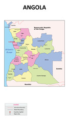
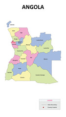
Angola Map. State and union territories of Angola with neighbouring countries. Political map of Angola with capital and important cities in Detailed.
#1254448330
Zobacz więcej
Angola Map. State map of Angola. Administrative map of Angola with state and capital in white color.
#1254448164
Zobacz więcej
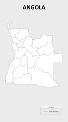
Angola Map. State and district map of Angola. Administrative map of Angola with states and boundaries in white color.
#1254448133
Zobacz więcej
Angola Map. Major cities in Angola. Political map of Angola with border and neighbouring countries.
#1254448119
Zobacz więcej
Angola Map. State map of Angola. Administrative map of Angola with states names in outline.
#1254448060
Zobacz więcej
Angola Map. State map of Angola. State map of Angola in colour with capital.
#1254448011
Zobacz więcej
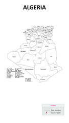
Algeria Map. State and district map of Algeria. Administrative map of Algeria with states and boundaries in white color.
#1254446553
Zobacz więcej
Algeria Map. State map of Algeria. State map of Algeria in colour with capital.
#1254446537
Zobacz więcej
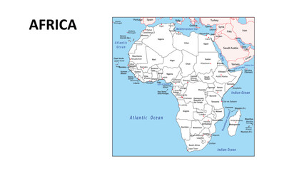
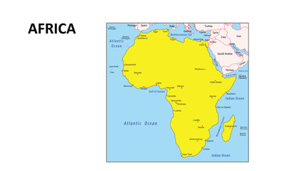
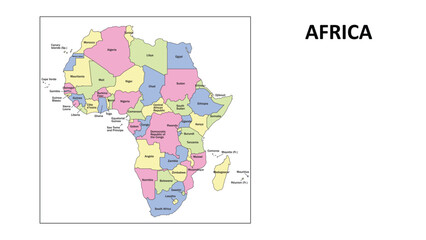
Africa Map. Countries and union territories of Africa with neighbouring countries. Political map of Africa with capital and important cities in Detailed.
#1254445456
Zobacz więcej
Africa Map. Political map of Africa with Countries border in outline. Political map of Africa with outline and neighbouring countries.
#1254445410
Zobacz więcej
Africa Map. Countries map of Africa. Administrative map of Africa with Countries and capital in white color.
#1254445363
Zobacz więcej
Africa Map. Major Countries in Africa. Political map of Africa with border and neighbouring countries.
#1254445312
Zobacz więcej
Africa Map. Countries map of Africa. Countries map of Africa in colour with capital.
#1254445258
Zobacz więcej
Africa Map. Countries map of Africa. Administrative map of Africa with Countriess and boundaries in white color.
#1254445142
Zobacz więcej
Africa Map. Countries map of Africa. Administrative map of Africa with Countriess and boundaries in white color.
#1254444620
Zobacz więcej
Burkina Faso Map. Political map of Burkina Faso with state border in outline. Political map of Burkina Faso with outline and neighbouring countries.
#1254456160
Zobacz więcej
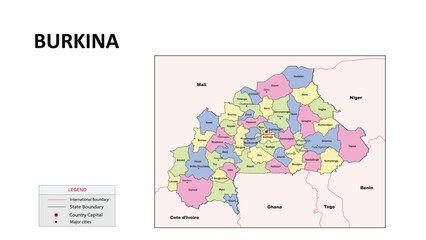
Burkina Faso Map. State and union territories of Burkina Faso with neighbouring countries. Political map of Burkina Faso with capital and important cities in Detailed.
#1254456141
Zobacz więcej
Burkina Faso Map. State map of Burkina Faso. Administrative map of Burkina Faso with state and capital in white color.
#1254456139
Zobacz więcej
Burkina Faso Map. State map of Burkina Faso. Administrative map of Burkina Faso with states names in outline.
#1254456121
Zobacz więcej
Burkina Faso Map. Major cities in Burkina Faso. Political map of Burkina Faso with border and neighbouring countries.
#1254456116
Zobacz więcej
Burkina Faso Map. State and district map of Burkina Faso. Administrative map of Burkina Faso with states and boundaries in white color.
#1254456091
Zobacz więcej
Burkina Faso Map. State map of Burkina Faso. State map of Burkina Faso in colour with capital.
#1254456073
Zobacz więcej
Burkina Faso Map. State and union territories of Burkina Faso with neighbouring countries. Political map of Burkina Faso with capital and important cities in Detailed.
#1254455363
Zobacz więcej
Burkina Faso Map. State map of Burkina Faso. Administrative map of Burkina Faso with state and capital in white color.
#1254455180
Zobacz więcej
Burkina Faso Map. Major cities in Burkina Faso. Political map of Burkina Faso with border and neighbouring countries.
#1254455105
Zobacz więcej
Burkina Faso Map. State map of Burkina Faso. State map of Burkina Faso in colour with capital.
#1254454906
Zobacz więcej
Burkina Faso Map. Political map of Burkina Faso with state border in outline. Political map of Burkina Faso with outline and neighbouring countries.
#1254453607
Zobacz więcej
Burkina Faso Map. State map of Burkina Faso. Administrative map of Burkina Faso with state and capital in white color.
#1254453603
Zobacz więcej
Burkina Faso Map. State and union territories of Burkina Faso with neighbouring countries. Political map of Burkina Faso with capital and important cities in Detailed.
#1254453587
Zobacz więcej
Burkina Faso Map. State map of Burkina Faso. Administrative map of Burkina Faso with states names in outline.
#1254453582
Zobacz więcej
Burkina Faso Map. Major cities in Burkina Faso. Political map of Burkina Faso with border and neighbouring countries.
#1254453576
Zobacz więcej
Burkina Faso Map. State and district map of Burkina Faso. Administrative map of Burkina Faso with states and boundaries in white color.
#1254453560
Zobacz więcej
Burkina Faso Map. State map of Burkina Faso. State map of Burkina Faso in colour with capital.
#1254453556
Zobacz więcej
Burkina Faso Map. Major cities in Burkina Faso. Political map of Burkina Faso with border and neighbouring countries.
#1254452869
Zobacz więcej
«
1
2
3
…
133
»
Copyright
Fototapeta4U.pl
2025