Uwaga Promocja!
Rabat -
45%
na wszystkie produkty. Podaj w koszyku kod -
8QUX6BU
Do końca oferty pozostało
Sat, 23 Nov 2024 22:59:59 +0000
7:25:53
x
O nas
Produkty
Pomoc
Kontakt
Opinie
Panel klienta
Modne i stylowe fototapety na wymiar
0
szt.
0
00
PLN
Pusty Koszyk
Menu
Przeznaczenie
Fototapety do salonu
Fototapety do sypialni
Fototapety do kuchni
Fototapety do biura
Fototapety do jadalni
Fototapety do łazienki
Fototapety do pokoju dziecka
Fototapety do pokoju nastolatka
Serie
Akwarele
Graffiti
Japonia
Pop Art
Skandynawia
Malarstwo
Żeglarstwo
Kwiaty
Motywy roślinne
3D
Miasta
Uliczki
Kategorie
Krajobraz
Lawendowe pole
Góry
Jeziora
Toskania
Plaża i palmy
Wodospad
Zachód słońca
Lasy i drzewa
Brzozy
Las bambusowy
Las tropikalny
Zamglony las
Kwiaty
Storczyk / orchidea
Dmuchawce
Maki
Tulipany
Słoneczniki
Architetura
Most Brookliński
Wieża Eiffla
Stare uliczki
Mosty
Drapacze chmur
Piramidy
Wielkie miasta
Panorama miasta
Warszawa
Kraków
Nowy Jork
Londyn
Paryż
Rzym
Wenecja
Tokio
Hong Kong
Zwierzęta
Konie
Zebra
Tygrys
Słoń
Flamingi
Jedzenie i napoje
Owoce
Warzywa
Pieczywo
Pierogi
Makarony
Pizza
Przyprawy
Kawa
Wino
Graficzne
Tropikalne liście
Damask
Etno i Folk
BOHO
Skandynawskie
3D / efekt głębi
Orientalne kafle
Geometryczne
Paski
Kółka
Fale
Kropki
Esy Floresy
Abstrakcyjne
Portret
Zwierzęta
Kwiaty
Krajobraz
Miasto
Inspiracje
Blog
Ulubione
Z Twojego zdjęcia
Opcje wyszukiwania
Typ
Fotografia
Wektor
Ilustracja
Wszystko
Położenie
Poziome
Pionowe
Kwadrat
Panoramiczne
Wszystko
Pokaż tylko
Z jednolitym tłem
Wszystko
Kolor
Na okręgu zaznacz szukany kolor a na kwadracie jego natężenie
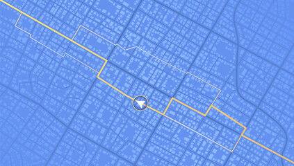
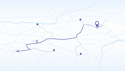
Online location tracking. Delivery Route Optimization with data of arrive time on city map. Huge city map with roads streets as background. Vector illustration
#1067078124
Zobacz więcej
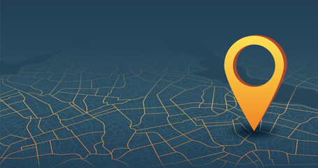
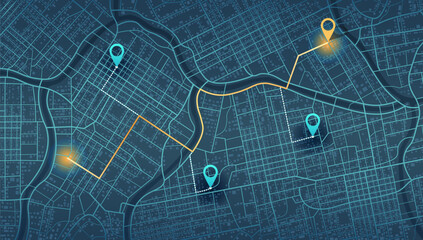
Flexible charging solutions, public charging stations available nearby. Select the most convenient route to drive. City map with charging stations icon available. Vector illustration
#1079070156
Zobacz więcej
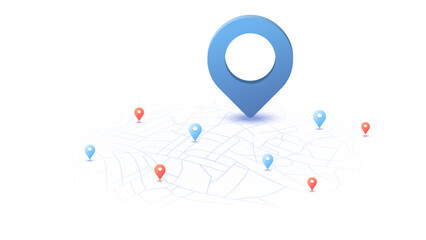
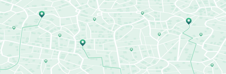
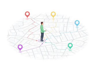
We have moved new office icon location. Address move change location announcement business home map. New pin location. Isometric vector illustration
#1067103363
Zobacz więcej
We have moved new office icon location. Address move change location announcement business home map. New pin location. Isometric vector illustration
#1055117457
Zobacz więcej
Abstract city map urban streets and road networks. Travel route planning and map navigation concepts. Flat vector illustration
#1042863232
Zobacz więcej
Ordering taxi online with mobile phone app nearby to your location. City map and taxi car. Internet cab car service in application. Vector illustration
#1031525317
Zobacz więcej
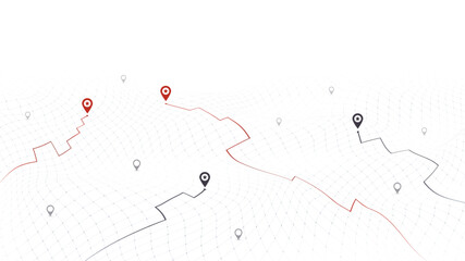
Route on the map to pin. City street map with various points of interest. GPS tracking system to navigate and find way around the city landmarks, directions to different locations. Vector illustration
#1042869467
Zobacz więcej
Abstract isometric city map urban streets and road networks. Travel route planning and map navigation concepts. Flat vector illustration
#1042864780
Zobacz więcej
Gps navigate on paper city map. Navigation concept. Geography distance plan. Vector illustration isolated on white background
#1079079129
Zobacz więcej
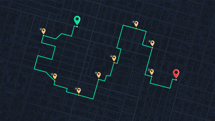
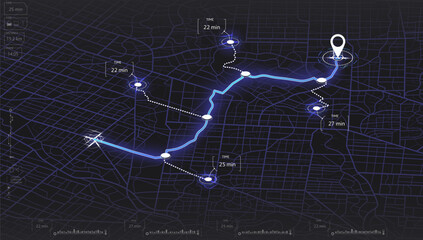
GPS navigation to pins and multiple markers on route. City map featuring directional signs, an intended goal point. Abstract plan highlights POI city streets. Vector illustration with designated route
#1079077630
Zobacz więcej
Abstract navigation plan of the urban area depicted as a simple scheme with buildings. Concept of planning and mapping a travel route using a general city map. Flat vector illustration
#1079076392
Zobacz więcej
Locator position point. GPS tracking system to navigate around the city landmarks. Detailed city street map with directions to different locations. Vector illustration
#1079075666
Zobacz więcej
Locator position point. GPS tracking system to navigate around the city landmarks. Detailed city street map with directions to different locations. Vector illustration
#1079074778
Zobacz więcej
Travel concept. Geolocation and abstract GPS navigation, online navigation map pointer, place mark with map navigation. Tracking path with app. Vector illustration
#1079073507
Zobacz więcej
Abstract city map urban streets and road networks. Travel route planning and map navigation concepts. Flat vector illustration
#1079072470
Zobacz więcej
City urban roads and streets abstract map downtown district map with river. Concept of planning and mapping a travel. Flat vector illustration
#1079071240
Zobacz więcej
Locator position point. GPS tracking system to navigate around the 3d city landmarks. Detailed city street map with directions to different locations. Vector illustration
#1067102312
Zobacz więcej
Navigation system showing a tracking navigation in progress in the streets. Track navigation pin on street map,navigate mapping locate position pin. Vector illustration
#1067097620
Zobacz więcej
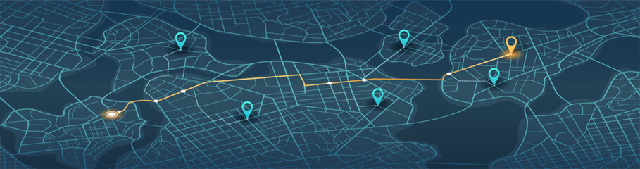
Online location tracking. Delivery Route Optimization with data of arrive time on city map. Huge city map with roads streets as background. Vector illustration
#1067096774
Zobacz więcej
Travel concept. Geolocation and abstract GPS navigation, online navigation map pointer, place mark with map navigation. Tracking path with app. Vector illustration
#1067095552
Zobacz więcej
Abstract GPS navigation, smart car location, delivery Route Optimization with data of arrive time on city map. Intended goal point, multiple markers. Vector illustration with route, alternative paths
#1067094768
Zobacz więcej
Route on the map to pin. City street map with various points of interest. GPS tracking system to navigate and find way around the city landmarks, directions to different locations. Vector illustration
#1067079311
Zobacz więcej
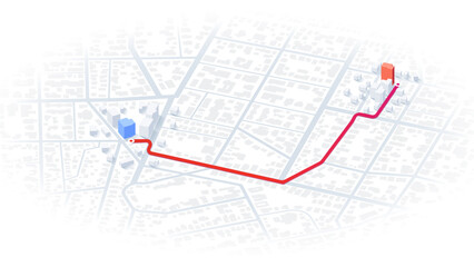
City map with designated destination, and multiple markers indicating various routes, including the shortest path option. Abstract navigation of city streets and neighborhoods. Vector illustration
#1067077155
Zobacz więcej
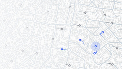
Location tracker dashboard with data of arrive time. City street road with pins on map and alternative ways. Isometric street roads and location, vector background. Huge city top view.
#1067076009
Zobacz więcej
Online location tracking with data of arrive time on city map. Huge city map with roads streets as background. Vector illustration
#1067074877
Zobacz więcej
Travel concept. Geolocation and abstract GPS navigation, online navigation map pointer, place mark with map navigation. Tracking path with app. Vector illustration
#1067073799
Zobacz więcej
Route on the map to pin. City street map with various points of interest. GPS tracking system to navigate and find way around the city landmarks, directions to different locations. Vector illustration
#1067069371
Zobacz więcej
Travel concept. Geolocation and abstract GPS navigation, online navigation map pointer, place mark with map navigation. Tracking path with app. Vector illustration
#1067067981
Zobacz więcej
Abstract GPS navigation, delivery location and map pointer. City map featuring directional signs, an intended goal point and multiple markers. Vector illustration with route, alternative paths.
#1067063390
Zobacz więcej
Travel concept. Geolocation and abstract GPS navigation, online navigation map pointer, place mark with map navigation. Tracking path with app. Perspective vector illustration
#1042859439
Zobacz więcej
Destinations. Gps tracking map. Track navigation pins on street maps, navigate mapping technology and locate position pin. Futuristic travel gps map or location navigator vector illustration
#675097119
Zobacz więcej
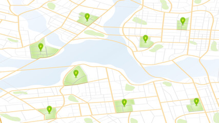
Generic city map with pins. Point of intended goal, many markers. Abstract navigation plan of urban area with POI on it. City streets and blocks. Colored editable vector illustration
#980797550
Zobacz więcej
Top view on city map with car accidents. Suggesting route changes to avoid traffic incidents. Auto protection concept and avoid road hazard, traffic accident on motorway. Vector illustration.
#1031520436
Zobacz więcej
Isometric Gps map navigation to own pin. City top view. Abstract transportation background. Track navigation pins on street maps, position pin. Vector illustration
#912601354
Zobacz więcej
3D digital graphic of cityscape with location pins on dark, hilly terrain. Background concept wavy backdrop with particles dots. Vector illustration
#1031528168
Zobacz więcej
Location tracker dashboard with data of arrive time. City street road with pins on map and alternative ways. Isometric street roads and location, vector background. Huge city top view.
#781115135
Zobacz więcej
City map featuring various types of infrastructure. Navigation plan to nearby restaurants, convenience stores, shop. Vector illustration highlight essential locations
#1042870256
Zobacz więcej
Location tracks dashboard. City street road. City streets and blocks, route distance data, path turns and destination tag or mark. Huge city top view. ector, illustration. Abstract background.
#619935917
Zobacz więcej
Location EV charging station location mark on gps navigation map a lot with fast supercharger station. Path turns and destination tag or mark. Huge city top view Tracking path, route. vector isometric
#752165379
Zobacz więcej
Blue city area, background map, streets. Skyline urban panorama. Cartography illustration. Widescreen proportion, digital flat design streetmap. Vector City top view. View from above the map
#625494849
Zobacz więcej
An abstract navigation plan highlights POI including city streets, blocks. City map featuring directional signs, an intended goal point and multiple markers. Editable vector illustration
#786957933
Zobacz więcej
Map mobile app planning travel. Isometric map. City map route, location symbols and navigational system mark. Vector, illustration isolated on white background.
#586483350
Zobacz więcej
Gps tracking map. Abstract isometric location tracks dashboard. Track navigation pins on street maps, navigate mapping, locate position pin. Futuristic travel map or location navigator vector
#676300868
Zobacz więcej
Locator position point. GPS tracking system to navigate around the city landmarks. Detailed city street map with directions to different locations. Vector illustration
#786957789
Zobacz więcej
Business presentation, speech. Scene of whiteboard meeting, business report, public speaking at work. Conference coworking workplace brainstorming and discussion isolated. Vector isometric, 3d
#600967507
Zobacz więcej
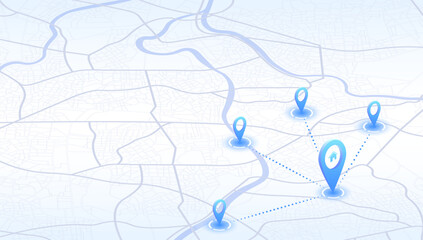
Abstract pins, icons on the city map. Transportation delivery, map location. Background road map with distance data. Vector illustration transport logistics, tourism navigation. Vector illustration
#774874254
Zobacz więcej
Route on the map to pin. City street map with various points of interest. GPS tracking system to navigate and find way around the city landmarks, directions to different locations. Vector illustration
#1020525950
Zobacz więcej
Tourist traveling using his smartphone to favorite places on map. Isometric gps navigation concept. City map route navigation smartphone, phone point markers. Vector illustration on white background
#774873859
Zobacz więcej
Multiple destinations from home. Gps tracking map. Track navigation pins on street maps, navigate mapping technology and locate position pin. Futuristic travel gps map or location navigator vector
#682078707
Zobacz więcej
«
1
2
3
…
45
»
Copyright
Fototapeta4U.pl
2024