Uwaga Promocja!
Rabat -45% na wszystkie produkty. Podaj w koszyku kod - X7OBJTJ
Do końca oferty pozostało 16:06:43 16:6:47
x

Fototapeta Washington State, land areas, multi colored map. The nine geologic provinces of the state of Washington, the westernmost state in the Pacific Northwest region of United States. Isolated illustration.

Washington State, land areas, multi colored map. The nine geologic provinces of the state of Washington, the westernmost state in the Pacific Northwest region of United States. Isolated illustration.

Numer zdjęcia: 1294376182, autor: © Peter Hermes Furian

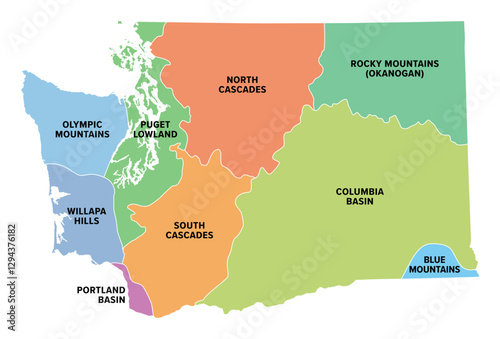
Tytuł: Washington State, land areas, multi colored map. The nine geologic provinces of the state of Washington, the westernmost state in the Pacific Northwest region of United States. Isolated illustration.

Na wydruku nie będzie znaku wodnego ani numeru grafiki

Kliknij na zdjęcie aby powiększyć
cm