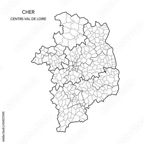
Fototapeta Vector Map of the Geopolitical Subdivisions of The Département Du Cher Including Arrondissements, Cantons and Municipalities as of 2022 - Centre-Val de Loire - France

Vector Map of the Geopolitical Subdivisions of The Département Du Cher Including Arrondissements, Cantons and Municipalities as of 2022 - Centre-Val de Loire - France

Numer zdjęcia: 504373941, autor: © Dorky

Tytuł: Vector Map of the Geopolitical Subdivisions of The Département Du Cher Including Arrondissements, Cantons and Municipalities as of 2022 - Centre-Val de Loire - France

Na wydruku nie będzie znaku wodnego ani numeru grafiki

Kliknij na zdjęcie aby powiększyć
cm