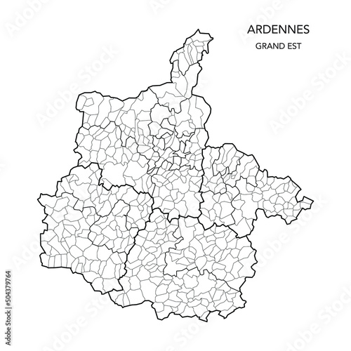
Fototapeta Vector Map of the Geopolitical Subdivisions of The Département Des Ardennes Including Arrondissements, Cantons and Municipalities as of 2022 - Grand Est - France

Vector Map of the Geopolitical Subdivisions of The Département Des Ardennes Including Arrondissements, Cantons and Municipalities as of 2022 - Grand Est - France

Numer zdjęcia: 504379764, autor: © Dorky

Tytuł: Vector Map of the Geopolitical Subdivisions of The Département Des Ardennes Including Arrondissements, Cantons and Municipalities as of 2022 - Grand Est - France

Na wydruku nie będzie znaku wodnego ani numeru grafiki

Kliknij na zdjęcie aby powiększyć
cm