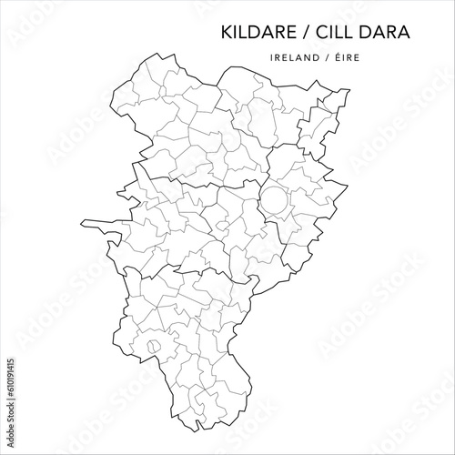
Fototapeta Vector Map of County Kildare (Countae Chill Dara) with the Administrative Borders of County, Districts, Local Electoral Areas and Electoral Divisions from 2018 to 2023 - Republic of Ireland

Vector Map of County Kildare (Countae Chill Dara) with the Administrative Borders of County, Districts, Local Electoral Areas and Electoral Divisions from 2018 to 2023 - Republic of Ireland

Numer zdjęcia: 610191415, autor: © Dorky

Tytuł: Vector Map of County Kildare (Countae Chill Dara) with the Administrative Borders of County, Districts, Local Electoral Areas and Electoral Divisions from 2018 to 2023 - Republic of Ireland

Na wydruku nie będzie znaku wodnego ani numeru grafiki

Kliknij na zdjęcie aby powiększyć
cm