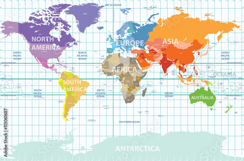
Fototapeta political map of the world with all continents separated by color, labeled countries and oceans, and with enumerated longitudes and latitudes on background

political map of the world with all continents separated by color, labeled countries and oceans, and with enumerated longitudes and latitudes on background

Numer zdjęcia: 113061687, autor: © brichuas

Tytuł: political map of the world with all continents separated by color, labeled countries and oceans, and with enumerated longitudes and latitudes on background

Na wydruku nie będzie znaku wodnego ani numeru grafiki

Kliknij na zdjęcie aby powiększyć
cm