Fototapeta Oceania political map with countries. English labeling. Region, comprising Australia and the Pacific islands with the regions Melanesia, Micronesia and Polynesia. Gray illustration over white. Vector.

Oceania political map with countries. English labeling. Region, comprising Australia and the Pacific islands with the regions Melanesia, Micronesia and Polynesia. Gray illustration over white. Vector.

Numer zdjęcia: 166048057, autor: © Peter Hermes Furian

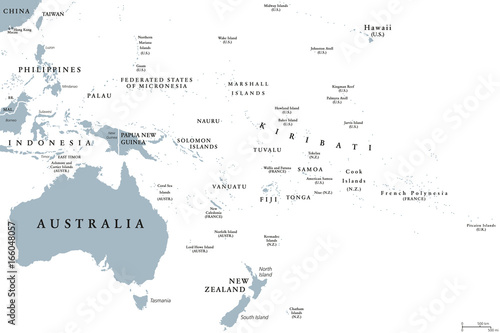
Tytuł: Oceania political map with countries. English labeling. Region, comprising Australia and the Pacific islands with the regions Melanesia, Micronesia and Polynesia. Gray illustration over white. Vector.

Na wydruku nie będzie znaku wodnego ani numeru grafiki

Kliknij na zdjęcie aby powiększyć
cm