Numer zdjęcia: 520742589, autor: © mustafa
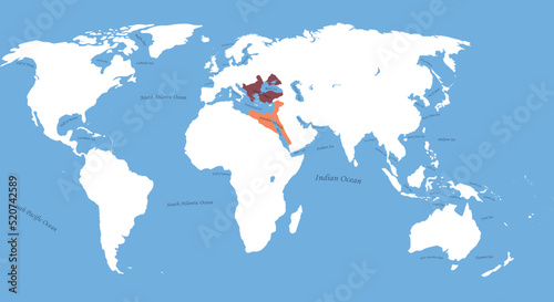
Tytuł: Map Ottoman Empire and Mamluk Sultanate the largest borders with all world, sea, ocean names
Na wydruku nie będzie znaku wodnego ani numeru grafiki
zł
134,50 zł
Copyright Fototapeta4U.pl 2024