Fototapeta Mali political map with the capital Bamako, national borders, most important cities, rivers and lakes. Illustration with English labeling and scale. Vector.

Mali political map with the capital Bamako, national borders, most important cities, rivers and lakes. Illustration with English labeling and scale. Vector.

Numer zdjęcia: 40437772, autor: © Peter Hermes Furian

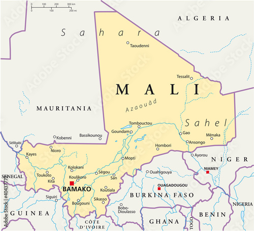
Tytuł: Mali political map with the capital Bamako, national borders, most important cities, rivers and lakes. Illustration with English labeling and scale. Vector.

Na wydruku nie będzie znaku wodnego ani numeru grafiki

Kliknij na zdjęcie aby powiększyć
cm
Cena

134,50

Zaoszczędzisz 60,52