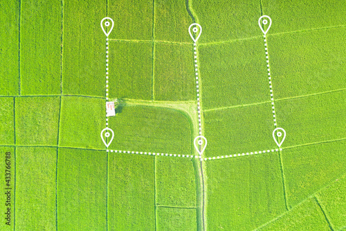
Fototapeta Land plot in aerial view. Gps registration survey of property, real estate for map with location, area. Concept for residential construction, development. Also house for sale, buy, investment.

Land plot in aerial view. Gps registration survey of property, real estate for map with location, area. Concept for residential construction, development. Also house for sale, buy, investment.

Numer zdjęcia: 433766788, autor: © DifferR

Tytuł: Land plot in aerial view. Gps registration survey of property, real estate for map with location, area. Concept for residential construction, development. Also house for sale, buy, investment.

Na wydruku nie będzie znaku wodnego ani numeru grafiki

Kliknij na zdjęcie aby powiększyć
cm