Fototapeta Digital elevation model. GIS product made after proccesing aerial pictures. It shows excavation site with steep rock walls that was mapped from a drone

Digital elevation model. GIS product made after proccesing aerial pictures. It shows excavation site with steep rock walls that was mapped from a drone

Numer zdjęcia: 393551419, autor: © Ungrim

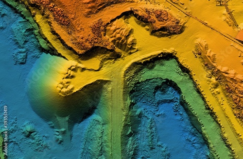
Tytuł: Digital elevation model. GIS product made after proccesing aerial pictures. It shows excavation site with steep rock walls that was mapped from a drone

Na wydruku nie będzie znaku wodnego ani numeru grafiki

Kliknij na zdjęcie aby powiększyć
cm