Fototapeta Detailed hand-drawn navigational urban street roads map of the United Kingdom city township of PETERBOROUGH, ENGLAND with vivid road lines and name tag on solid background

Detailed hand-drawn navigational urban street roads map of the United Kingdom city township of PETERBOROUGH, ENGLAND with vivid road lines and name tag on solid background

Numer zdjęcia: 730895759, autor: © Sanja

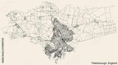
Tytuł: Detailed hand-drawn navigational urban street roads map of the United Kingdom city township of PETERBOROUGH, ENGLAND with vivid road lines and name tag on solid background

Na wydruku nie będzie znaku wodnego ani numeru grafiki

Kliknij na zdjęcie aby powiększyć
cm