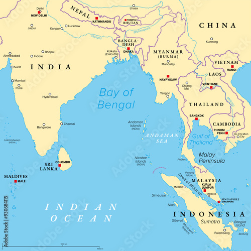
Fototapeta Bay of Bengal, political map. Northeastern part of the Indian Ocean and largest bay of the world, positioned between the Indian subcontinent and Indochinese peninsula, located below the Bengal region.

Bay of Bengal, political map. Northeastern part of the Indian Ocean and largest bay of the world, positioned between the Indian subcontinent and Indochinese peninsula, located below the Bengal region.

Numer zdjęcia: 930684115, autor: © Peter Hermes Furian

Tytuł: Bay of Bengal, political map. Northeastern part of the Indian Ocean and largest bay of the world, positioned between the Indian subcontinent and Indochinese peninsula, located below the Bengal region.

Na wydruku nie będzie znaku wodnego ani numeru grafiki

Kliknij na zdjęcie aby powiększyć
cm