Numer zdjęcia: 542360837, autor: © Dorky
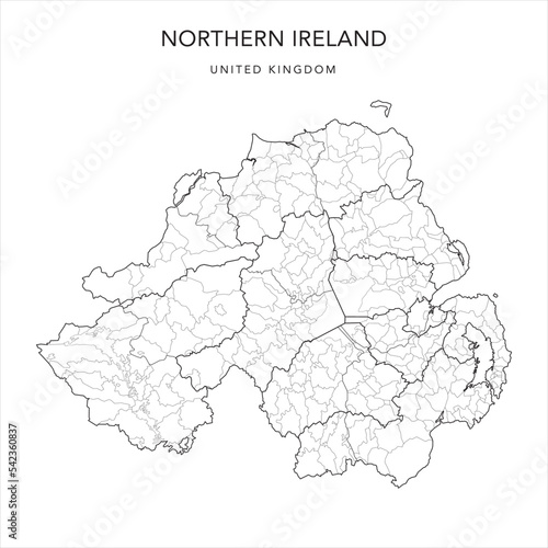
Tytuł: Administrative Map of Northern Ireland with Districts, Traditional Counties and Civil Parishes as of 2022 - United Kingdom - Vector Map
Na wydruku nie będzie znaku wodnego ani numeru grafiki
zł
134,50 zł
Copyright Fototapeta4U.pl 2024